This work is currently active. Interested students, postdocs, and collaborators: please feel free to contact me.
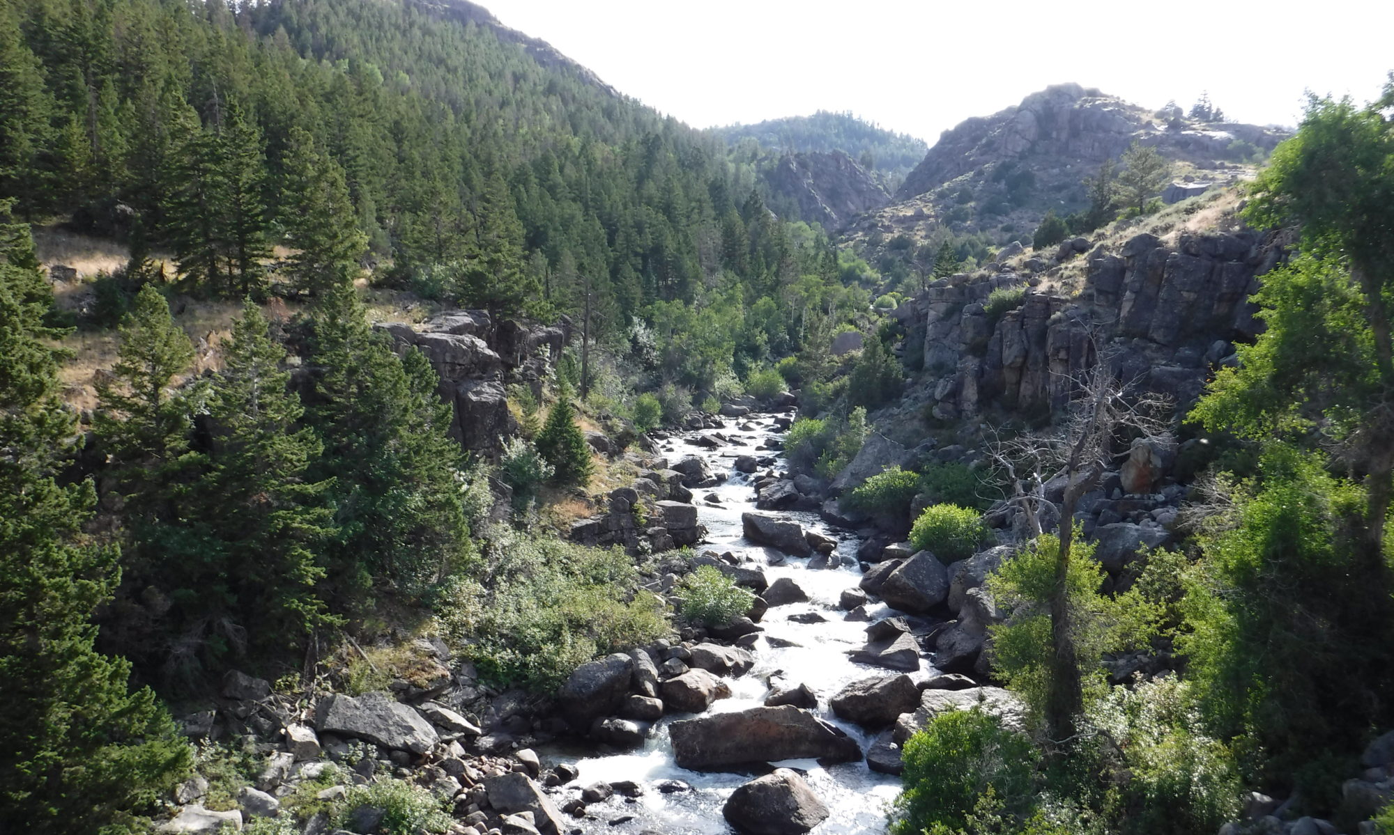
Our ability to understand landscape form and our ability to predict future landscape dynamics are only as good as our best computer models. I have developed new landscape evolution model components, as well as tools for model comparison and analysis. My colleagues and I have applied these tools to a diverse array of problems ranging from deducing the slip rate on the San Andreas Fault to forecasting erosion over the next 10,000 years at a hazardous waste storage site.
See the papers:
- Barnhart, K.R., Tucker, G.E., Doty, S., Glade, R.C., Shobe, C.M., Rossi, M.W., and Hill, M.C. (2020) Projections of landscape evolution on a 10,000 year timescale with assessment and partitioning of uncertainty sources, Journal of Geophysical Research: Earth Surface. doi:10.1029/2020JF005795.
- Barnhart, K.R., Tucker, G.E., Doty, S., Shobe, C.M., Glade, R.C., Rossi, M.W., and Hill, M.C. (2020) Inverting topography for landscape evolution model process representation: Part 3, determining parameter ranges for select mature geomorphic transport laws and connecting changes in fluvial erodibility to changes in climate, Journal of Geophysical Research: Earth Surface. doi:10.1029/2019JF005287.
- Barnhart, K.R., Tucker, G.E., Doty, S., Shobe, C.M., Glade, R.C., Rossi, M.W., and Hill, M.C. (2020) Inverting topography for landscape evolution model process representation: Part 2, calibration and validation, Journal of Geophysical Research: Earth Surface. doi:10.1029/2018JF004963.
- Barnhart, K.R., Tucker, G.E., Doty, S., Shobe, C.M., Glade, R.C., Rossi, M.W., and Hill, M.C. (2020) Inverting topography for landscape evolution model process representation: Part 1, conceptualization and sensitivity analysis, Journal of Geophysical Research: Earth Surface. doi:10.1029/2018JF004961.
- Barnhart, K.R., Glade, R.C., Shobe, C.M., and Tucker, G.E. (2019) Terrainbento 1.0: a Python package for multi-model analysis in long-term drainage basin evolution, Geoscientific Model Development, v. 12, no. 4, p. 1,267-1,297. doi:10.5194/gmd-12-1267-2019.
- Gray, H.J., Shobe, C.M., Hobley, D.E.J., Tucker, G.E., Duvall, A.R., Harbert, S.A., and Owen, L.A. (2017) Off-fault deformation rate along the southern San Andreas fault at Mecca Hills, southern California, inferred from landscape modeling of curved drainages, Geology, v. 43, no. 1, p. 59-62. doi:10.1130/G39820.1.
- Shobe, C.M., Tucker, G.E., and Barnhart, K.R. (2017) The SPACE 1.0 model: a Landlab component for 2-D calculation of sediment transport, bedrock erosion, and landscape evolution, Geoscientific Model Development, v. 10, no. 12, p. 4,577-4,604. doi:10.5194/gmd-10-4577-2017.