…sit at Earth’s passive continental margins. How can we use forward models of landscape and seascape evolution to read that stratigraphic record and infer something about past landscapes? In this new paper we use beautiful stratigraphic data from the southern Atlantic Ocean to find the optimal form of models for the development of passive margin stratigraphy over geologic time. Spoiler alert: margin evolution is dominated by nonlocal sediment transport events like marine landslides, turbidity currents, and marine debris flows.
WVU ESD students win a bunch of stuff in 2021-2022
Grad and undergrad group members are winning awards left and right!
- Undergraduate researcher Olga Hawranick took home second runner up in the WVU Undergraduate Research Symposium for her poster titled Patterns of channel sinuosity in the Appalachian Valley and Ridge. We will miss Olga next year as she begins her MS in Mathematics at Boise State University!
- Grad student Nick Colaianne was awarded a NASA WV Space Grant graduate fellowship as well as a WVU Geology graduate research grant.
- Undergrad student Corey Crowder was awarded a NASA WV Space Grant undergraduate scholarship.
- Grad student Sam Bower is off to Golden, CO for a summer 2022 USGS Pathways internship. He also got a GSA student research grant.
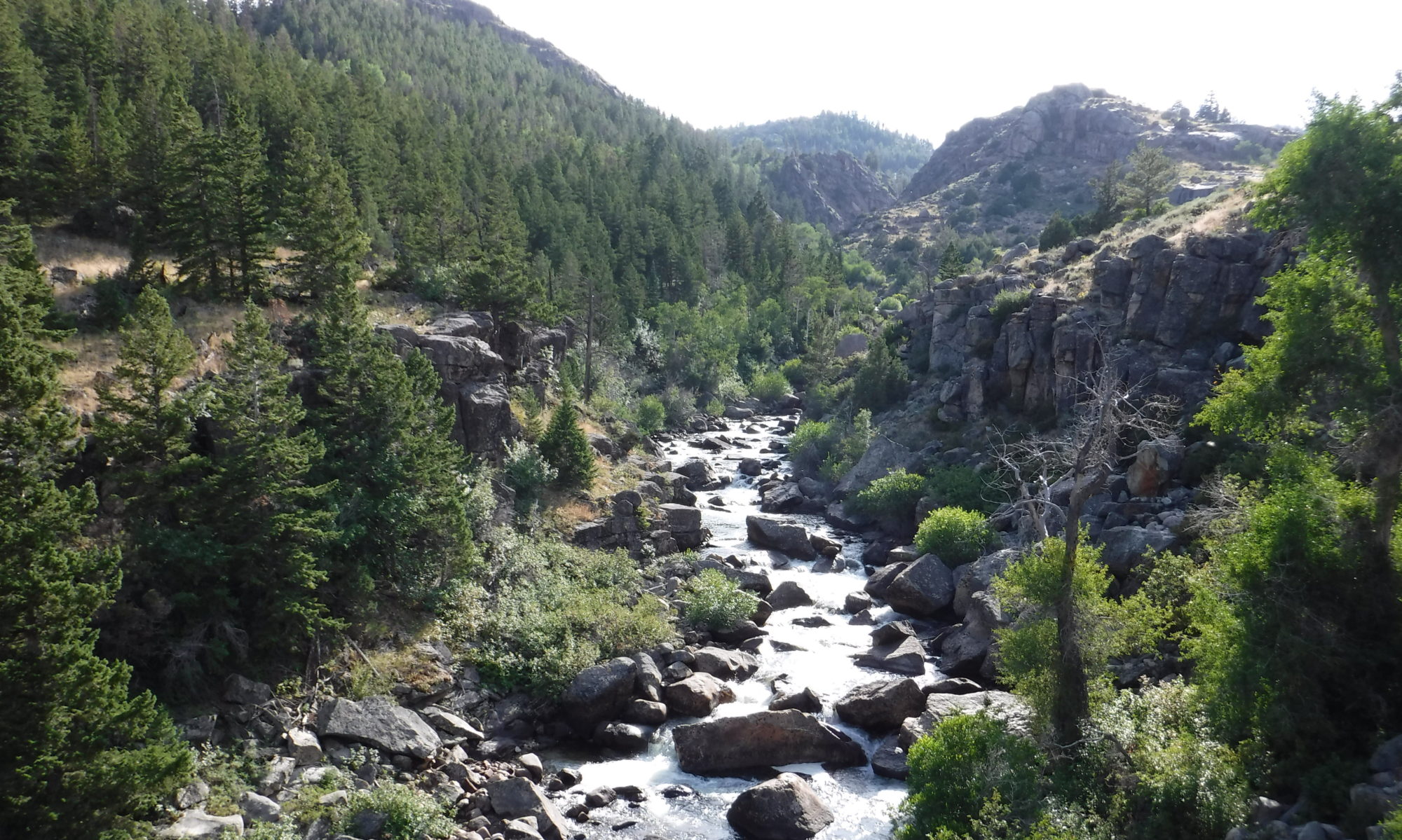
Paper on how river deposits record climate change
Xiaoping Yuan leads a new paper in JGR: Solid Earth showing how fluvial sedimentary deposits might record variations in mean precipitation rate. Find it here .
Preprint on modeling marine stratigraphy
Model-data synthesis suggests that it is essential to incorporate nonlocal sediment transport processes into our stratigraphic forward models if we want to be able use stratigraphy to quantitatively infer past perturbations to landscapes. Check out the preprint!
New paper on terrain metrics for predictive mapping/modeling
If you like DEMs, you won’t want to miss this thorough yet accessible review led by my WVU colleague and GIS wizard Aaron Maxwell. We discuss best practices for selection and use of terrain metrics in mapping and predictive modelling tasks, with a focus on gaining insight into geomorphic processes.
Review paper out now in Earth-Sci Reviews
Take a look at our new invited review on how boulders influence landscape evolution, out now in Earth-Science Reviews. We try to synthesize recent progress on this problem and point out directions for fruitful future research. Thanks to coauthors Jens Turowski, Ron Nativ, Rachel Glade, Georgie Bennett, and Bene Dini!
New paper: projections of erosion
If you’ve got buried hazardous waste, you want to be able to predict how quickly the land surface will lower. We’re now one step closer thanks to Katy Barnhart; check out the latest in JGR: Earth Surface!
Model of landslide-river interactions out now
Modeling wizard Benjamin Campforts (CU Boulder) has published HyLands 1.0, a new model that seeks to elucidate the interactions among landslides, landslide-derived sediment, and river incision that govern landscape evolution. Find the paper here!
New paper out in GSA Bulletin
Find it here! If some rock units deliver large boulders to rivers through landsliding, but other rock units don’t, does this leave a meaningful imprint on the shape of the landscape? We mapped 1,833 boulders, analyzed topography and landslide inventories, and applied a simple numerical model to understand how lithologically controlled boulder delivery influences landscape response to tectonics. This data-intensive undertaking was only possible thanks to fantastic collaborators Georgie Bennett, Greg Tucker, Kevin Roback, Scott Miller, and Josh Roering!
Preprint on landslides and landscapes up for public discussion
Modeling landsliding and the fate of landslide-derived sediment helps us better understand both short-term geohazards and long-term landscape evolution. See Benjamin Campforts’s latest preprint up for public discussion in Geoscientific Model Development.